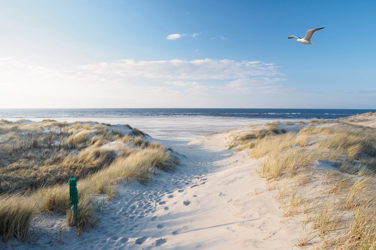
Drive South Virginia Dare Trail this week and the beach looks finished. The dredge pipe is gone, the sand ramps are gone, and where storm-scarped dune line sat in June there's now a wide, flat berm that makes the whole stretch from Bonnett Street to the town line look brand new. If you're weighing a fall listing, that view is doing a lot of the selling for you already.
Here's what the view doesn't show. The same project that widened your beach also just generated a fresh paper trail of erosion data, easement requirements, and tax-district boundaries that has nothing to do with how the sand looks and everything to do with what you're legally required to tell a buyer. A wider beach and a clean disclosure file are two separate problems, and only one of them got solved by the dredge.
What Actually Finished This Summer
The Town of Nags Head's 2026 Beach Nourishment Project placed sand along roughly ten miles of shoreline, from 2919 South Virginia Dare Trail south to the town line adjacent to Cape Hatteras National Seashore. The beach fill phase wrapped on Sunday, July 19, with sand fencing and dune vegetation installation following in late July and early August.
| Date | Milestone |
|---|---|
| Feb 4, 2026 | Board of Commissioners awards $36,412,600 contract to Weeks Marine |
| May 19, 2026 | Construction begins near Camelot Street in South Nags Head |
| July 19, 2026 | Beach fill phase completed |
| Late July–Aug 2026 | Sand fencing and dune vegetation installed; post-construction surveys underway |
The town hasn't declared the project fully complete yet. Land and hydrographic surveys are still verifying that the placed sand volume matches the approved design before that happens. If you're timing a listing launch around "post-nourishment," that final sign-off, not the visible sand, is the more accurate marker.
The Number That Justified $36.4 Million
Before the town spent that money, its coastal engineers ran a Fall 2025 beach condition survey. The finding: a weighted average of 27 feet of shoreline recession across the project area between June and October 2025, following a stretch of higher than average storm activity. That number is what moved the project from "someday" to "summer 2026."
It's also the number that doesn't disappear once the sand is back. North Carolina's Residential Property Disclosure Act, G.S. 47E-4, requires sellers of 1-4 unit residential property to complete a standard disclosure statement covering "the characteristics and condition of the property" they actually know about, including zoning restrictions, encroachments, and notices from any government agency affecting the property. A publicly documented erosion survey from your own town, cited as the justification for a $36 million construction contract, is exactly the kind of governmental record a buyer's attorney will expect a seller to have known about.
The wider the beach looks at your open house, the more official record now exists proving it wasn't wide six months earlier.
Two Nearly Identical Houses, Two Different Tax Bills
Nags Head doesn't fund beach nourishment out of one line item, and that matters more than most buyers realize when they're comparing two similar oceanfront listings. The town's FY 2025-26 budget sets a total ad valorem tax rate of 23.2 cents, made up of 21.2 cents townwide plus a dedicated 2-cent beach nourishment rate. On top of that sits a layer of six separate beach nourishment Municipal Service Districts, each taxing only the properties inside its boundary.
Here's the part that trips up due diligence: if you own property south of Bonnett Street, east of South Virginia Dare Trail or South Old Oregon Inlet Road, your parcel can fall inside two of those districts at once. That means two separate beach nourishment tax lines on top of the townwide rate, not one. Two houses a block apart, both technically "oceanfront in Nags Head," can carry meaningfully different total tax bills depending on which side of an MSD boundary line they sit on.
A median price tells a buyer what a typical Nags Head oceanfront home costs. It says nothing about which MSD a specific parcel sits in, and that's not a detail a portal listing surfaces. It's a detail you find by pulling the parcel on the town's GIS map and cross-checking the current tax bill.
The Easement Most Owners Forgot They Signed
Nags Head's nourishment program runs on a perpetual easement covering the oceanfront portion of each participating parcel, the part adjacent to the state-owned beach that's already subject to public trust rights. Every owner of record has to sign that easement in front of a notary, and the town has been actively chasing gaps in that record. In March 2025, it mailed letters to property owners whose easements had either expired or were set to expire in 2026, warning that without a signed easement on file, the town might be unable to include that specific property in a nourishment cycle.
If you're selling this fall and you're not certain whether your easement is current, that's worth resolving before you list, not during due diligence. The state disclosure form every North Carolina seller completes, NCREC Form REC 4.22, asks directly whether the property is "subject to any utility or other easements." A beach nourishment easement qualifies. And if a buyer doesn't receive a completed disclosure statement by the time they make an offer, they can cancel the resulting contract without penalty within three calendar days of receiving it, or three days from the contract date, whichever comes first. That's not a theoretical risk. It's a clean, no-fault exit for a buyer who feels blindsided by paperwork that should have surfaced earlier.
What This Means If You List This Fall
A few things worth confirming before your listing goes live, not after an offer comes in:
- Pull your parcel on the town's GIS map to confirm which beach nourishment MSD, or MSDs, your property sits in, then check that against your most recent tax bill.
- Contact the town to confirm your beach nourishment easement is current. If you received a letter in March 2025 about an expired or expiring easement, resolve it before you list.
- Complete your NCREC disclosure statement with the easement and government-notice questions answered accurately, not left blank.
- Note whether the project's final compliance sign-off has occurred yet. Buyers and their attorneys may ask, and "the beach fill finished July 19, final verification is ongoing" is a more precise answer than "it's done."
None of this changes how the beach photographs. It changes how clean your closing timeline is.
FAQ
Does the wider beach change the setback line for rebuilding or renovating? Setback distances for oceanfront construction in North Carolina are tied to the shoreline's assigned erosion rate, not to how wide the beach happens to be the week you measure it. A freshly nourished beach doesn't reset that underlying number. Confirm current setback requirements with the town's building and CAMA permitting staff before assuming a wider beach means more buildable room.
Will this project lower my flood insurance premium? Not automatically. Flood insurance rating runs through FEMA flood zone maps and elevation certificates, which are a separate process from beach nourishment. A nourishment project can reduce storm damage risk over time, but it doesn't by itself trigger a new flood zone designation or a lower NFIP premium.
Is the project actually finished, or should I wait to list? The beach fill phase finished July 19, 2026, and sand fencing and dune vegetation work followed. The town is still running compliance surveys to confirm the project meets its approved design before calling it officially complete. You can list now and disclose the project's current status accurately. Waiting for the formal sign-off isn't required, but knowing where that process stands helps you answer buyer questions with confidence instead of guesswork.
If you're weighing a fall listing on Nags Head's oceanfront and want a second set of eyes on the easement, MSD, and disclosure paperwork before it becomes a closing-week surprise, The Gamiel Team works this stretch of the Outer Banks daily and can walk your specific parcel through it with you. Partner With Us.