In April, the Southern Shores Town Council lined up behind a $1.2 billion bridge meant to take summer traffic off NC 12. In October, the same council voted unanimously to seek a state designation meant to keep NC 12 looking the way it does now. One would move cars somewhere else, and the other would protect what's left once they're gone. On the calendar, though, they're far apart. The byway application is due in less than ten months. The earliest bridge construction date is more than eighteen months away, and the bridge still doesn't have the money to be built.
The Same Councilwoman at Both Ends of the Road
Councilwoman Paula Sherlock shows up in both stories. At a March 2025 public hearing on a bridge permit, the Outer Banks Voice reported that she called emergency services "severely compromised" by summer traffic. "Fire trucks and ambulances can't get through. This is not just an annoyance. This is a safety risk and an environmental hazard."
A year and a half later she's the town's lead on the Scenic Byway application. At the Oct. 6 meeting, The Coastland Times reported, she said the goal was to preserve the area's "environmental and historic character," not to draw more visitors.
"We live in a narrow, fragile barrier area with the Atlantic Ocean on one side and the sounds on the other side."
That's how Sherlock described the corridor to council, according to the same Coastland Times account. She pointed to nesting sea turtles, wild horses, historic sites, and worries about possible road widening. The town treats summer traffic as a safety problem, and the fix it backs is fewer cars on the existing two lanes. More pavement isn't part of it.
A Resident's Idea, Brought to Council in August
The byway didn't start at Town Hall. The Southern Shores Beacon reported that it came from homeowner Tisa Head, a community leader and former president of the Southern Shores Civic Association. She knows the national byways in Northern Virginia, including the George Washington Memorial Parkway. Sherlock brought it to council at the August meeting. Council agreed by consensus to explore it, and she reported she had already contacted NCDOT's Scenic Byways Coordinator and received a preliminary application.
At that same meeting, Charlie Ries of South Dogwood Trail spoke right after Sherlock about his grassroots campaign for the Mid-Currituck Bridge from Aydlett to Corolla. In May he wrote to Gov. Josh Stein in a letter more than 100 Outer Banks property owners signed. The group has since written to members of Congress and to candidates for U.S. and N.C. Senate seats. So both campaigns came to council on the same night.
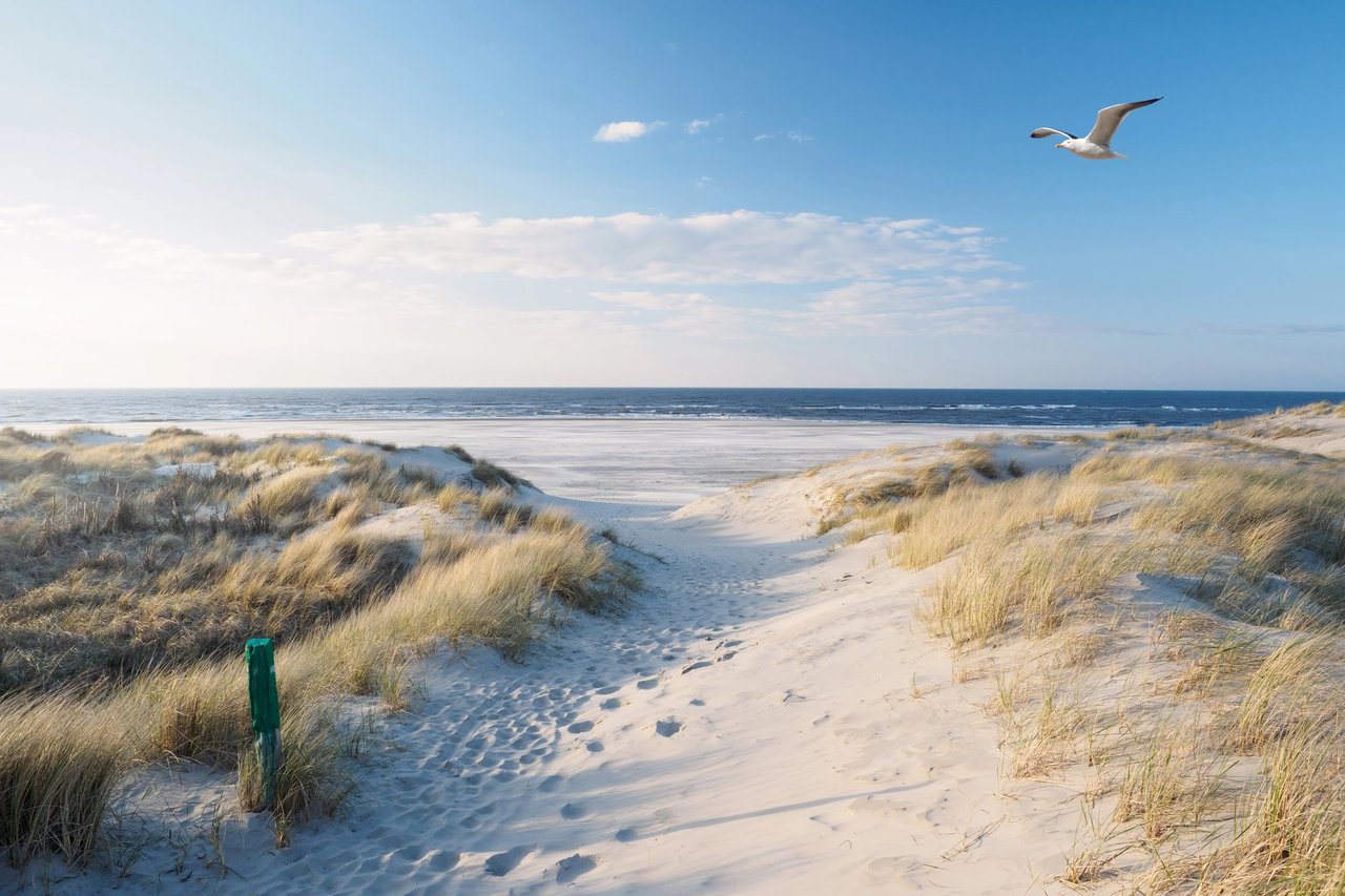
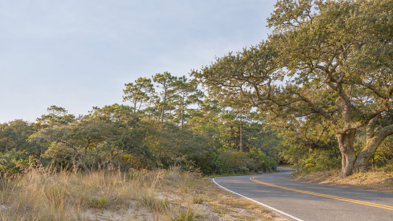
The proposed byway would run from Southern Shores through Duck to Corolla, possibly as far as the end of the paved road. North Carolina has 62 scenic byways. One of them is the federally designated Outer Banks National Scenic Byway, which starts at Whalebone Junction in Nags Head and runs south to Beaufort through 21 coastal villages. NC 12 north of Whalebone has no byway designation, and Sherlock noted to council that northeastern North Carolina has none at all. The case she laid out lists ocean and sound views, sunrises and sunsets, marshes, wetlands, dunes, migratory birds, fisheries, dolphins, sea turtle nesting areas, wild horses, and historic villages and sites.
What a Byway Designation Does on Paper
Local supporters have described the designation as protection. Councilman Rob Neilson called it a "way of preventing the highway from being widened," according to the Beacon. NCDOT's published rules put it more narrowly. Here's what the state's Scenic Byways designation rules and its Scenic Byways program page say:
- Signs. Designated routes get N.C. Scenic Byways signs. Sherlock told council the state provides the signs and there's no fee.
- Private property. Sherlock said designation would not require private properties to open to the public.
- Billboards. Some lawfully erected outdoor advertising signs become nonconforming once a route is designated. They can stay up until funds are available to buy them.
- Land use and road work. Designation doesn't by itself change local land-use rules or commercial activity. It also doesn't change the need for, or the authority to carry out, future highway rehabilitation, development, maintenance or improvements.
In practice, the byway gives Southern Shores, Duck and Currituck a formal, state-recognized record of what the corridor is worth, along with signs that say so. NCDOT's rules keep the state's authority over the road itself in place. The state's criteria also call for strong local support and features visible from the road. That's why the application depends on community participation as much as on the town's resolution.
Where the Bridge Stands in 2026
The bridge numbers have moved in the wrong direction for supporters. The North Carolina State Auditor's report, dated June 22, 2026, lays them out.
| Measure | Earlier figure | 2026 figure |
|---|---|---|
| Cost estimate | $490.59 million at 2019 federal approval | $1.1177 billion as of March 2026, about $1.2 billion with delivery costs |
| Projected daily use | 12,600 vehicles in the 2012 environmental study | 7,700 vehicles in the 2019 update |
| Earliest construction start | June 2027 | June 2028, with further delays possible |
| Money already spent | n/a | $61 million, with no construction contract |
| Funding gap | n/a | $702 million to $832 million |
The report adds that 50 years of projected gross toll income, $731 million, is less than the cost of building the bridge. In a March 2026 communication, NCDOT called the project not "likely currently financially feasible without additional project funding."
There was one win. On April 15, 2026, the Albemarle Rural Planning Organization voted to keep the project's $173 million state commitment, so it didn't have to compete again in the statewide ranking. Southern Shores had passed its own support resolution the night before. The resolution said the town believes the proposed $15 base toll "is well below what users would likely pay" and asked NCDOT to study a higher rate. At an April 6 Currituck meeting, the Outer Banks Voice reported, David Roy of the North Carolina Turnpike Authority answered that tolls "could be a little higher…the higher the rate, the more people are going to choose an alternative route."
A separate challenge to the project's CAMA permit, filed in October 2025, was still pending when the Auditor's report came out. NCDOT's project page lists the steps still ahead: a Coast Guard permit, updated traffic and toll financing work, procurement, final design and right-of-way acquisition.
The Calendar Southern Shores Is Actually On
Here are the dates for both efforts, in order.
- Now through 2027. Southern Shores hopes Duck and Currituck County pass resolutions like its own. After that, a resident group would help put together what Sherlock called a documentation-heavy application, and a consultant experienced with byway projects has offered to help.
- Aug. 31, 2027. Deadline for the final byway application.
- After filing. NCDOT's rules allow interested parties to request a public hearing within 60 days. Without a hearing, written comments are accepted for 90 days. NCDOT's Roadside Environmental Unit reviews the application and makes a recommendation, Division of Highways staff submit the proposals found meritorious, and the Board of Transportation approves or denies them. The Board reviews the program each March.
- June 2028. The earliest date NCDOT has given for starting bridge construction.
- 2031 or 2032. The bridge's opening estimate in March 2026 Outer Banks Voice coverage, assuming the project goes ahead.
The bridge depends on hundreds of millions of dollars that no one has found yet. The byway depends on paperwork, two neighboring governments, and a committee of residents. Sherlock originally pitched the committee as a way to gather support from residents, environmental groups, tourism groups and homeowner associations. Council has authorized the town manager or a designee to coordinate with the participating jurisdictions and NCDOT. The next public steps will be the votes in Duck and Currituck and a call for residents to join the application work.
At the Gamiel Team, we keep a close eye on NC 12 because it's the road our clients drive from Southern Shores up to Duck and Corolla, and it shapes daily life on the central Outer Banks. If you'd like to talk through how traffic, the bridge or the byway effort could affect your own plans in town, Elizabeth Cloninger and the team are glad to sit down with you. Partner With Us.